![[;)]](https://www.theautomotiveindia.com/forums/images/smilies/Wink.gif "Wink [;)]")
1 – where is Araku valley located ?
VISAKHAPATNAM - Visakhapatnam is a coastal, port city, often called "The Jewel of the East Coast", situated in the state of Andhra Pradesh, located on the eastern shore of India, and nestled among the hills of the Eastern Ghats and facing the Bay of Bengal to the east. It is the second largest city in Andhra Pradesh with an area of 550 km²; it is primarily an industrial city, apart from being a port city. It is also home to the Eastern Naval Command. According to the history, the city was named after the god of Valor-Vishakha. It was a part of the Kalinga Kingdom, under Ashoka’s rule in 260 B.C. It passed on later to the Andhra Kings of Vengi. After this Pallava, Chola and Ganga dynasties ruled the city. In the 15th century, Vishakhapatnam became a part of the Vijayanagar Empire.
Araku Valley is about 120 Kms from Visakhapatnam.
2- Tell me something about this place!
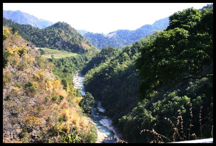
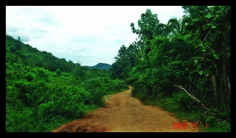
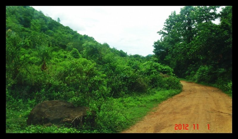
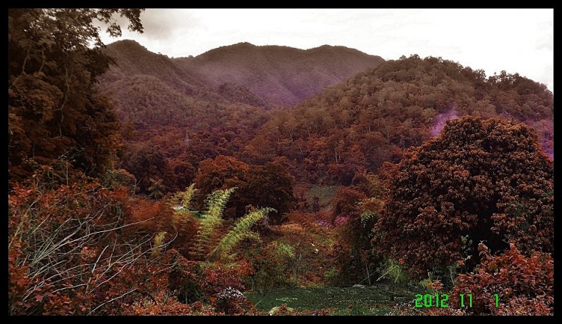
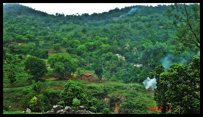
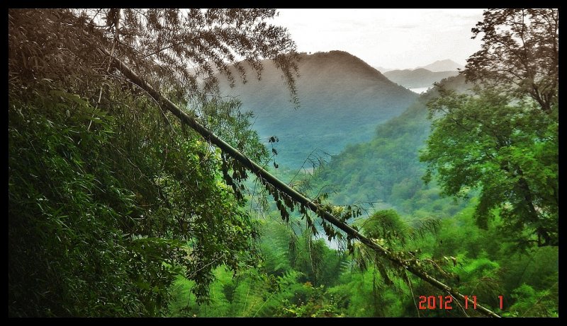
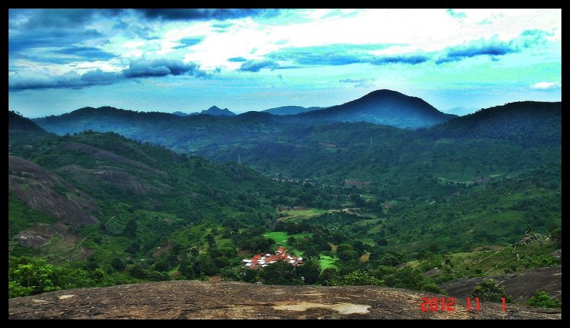
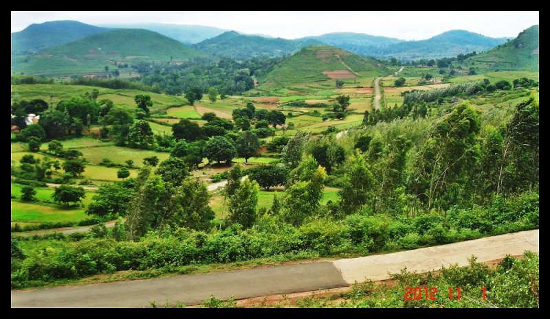
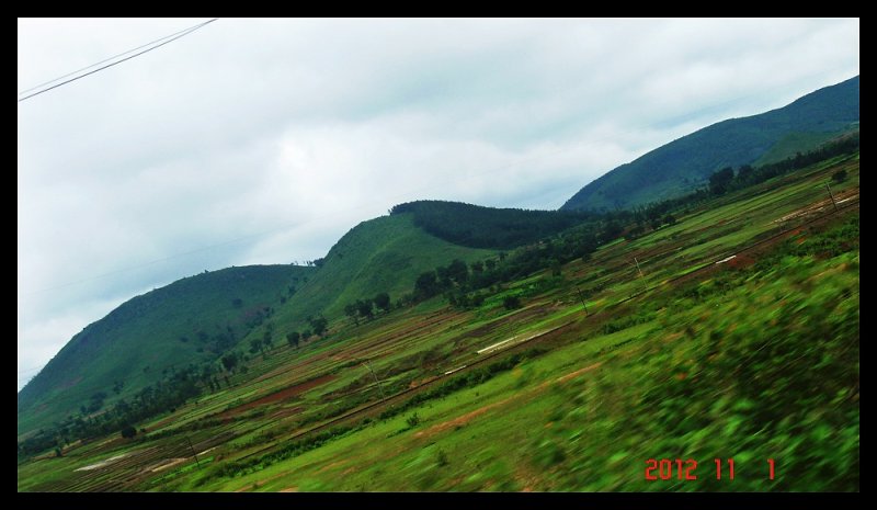
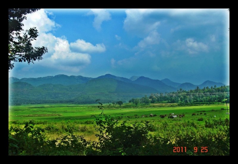
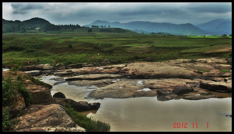
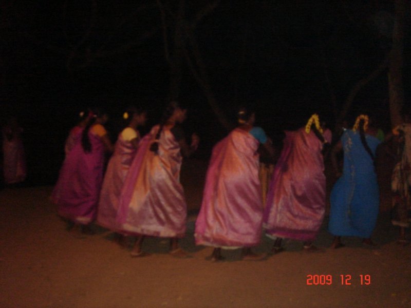
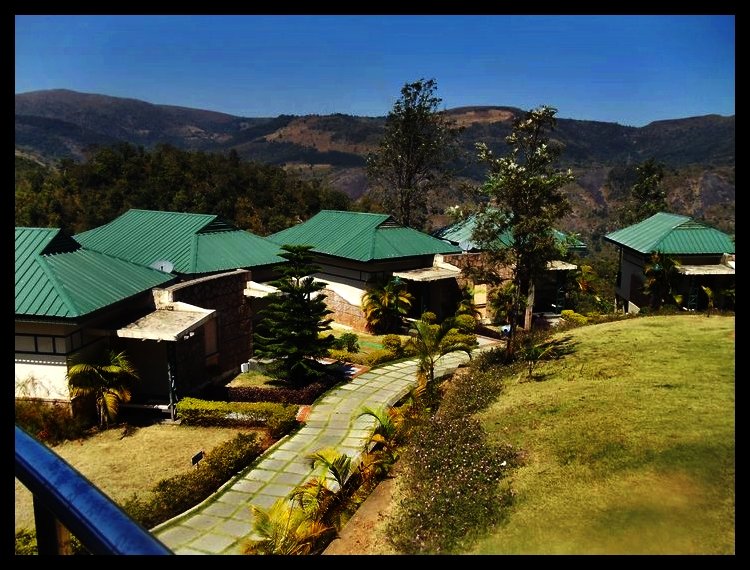
a) Araku Valley lies on the Eastern Ghats. The area of the valley is roughly 36 Sq.Kms. and the altitude is between 600 and 900 meters above mean sea level. The entire area is inhabited by aboriginal tribes. Araku Valley comprises of the River Gosthani's Valley ringed by peaks. The area abounds in a number of streams, rivulets (known locally as Geddas) and seasonal waterfalls. The valley and its surrounding peaks are a green rhapsody of thick jungle, terraced Rice and Maize fields and Coffee plantations.
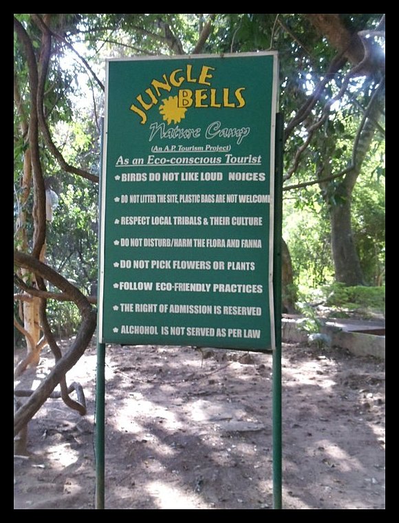
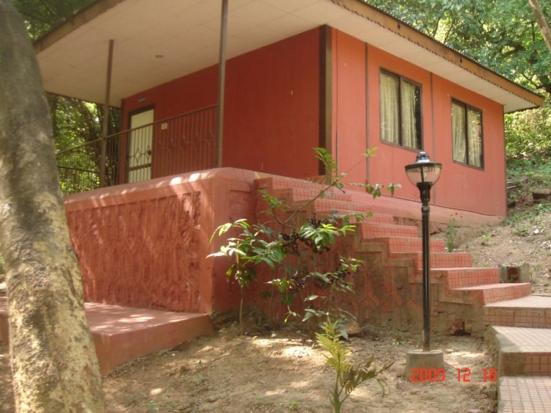
b) Tyda is home to a variety of wild mammals and avifauna. It is located in the midst of beautiful Eastern Ghats, on the way to araku from vizag. Tyda is located at an altitude of 1520 feet above the sea level. 'Jungle Bells' provides the best environment for bird watching, forest treks and coming closer to nature.
c) The Ananthagiri hills on the way to Araku Valley are famous for coffee plantation. It is situated on the way to Araku Valley, Ananthagiri is a spot with anenchanting beauty. Extensive coffee plantations, numerous waterfalls abound here.
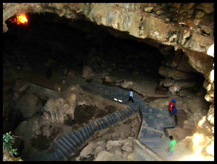

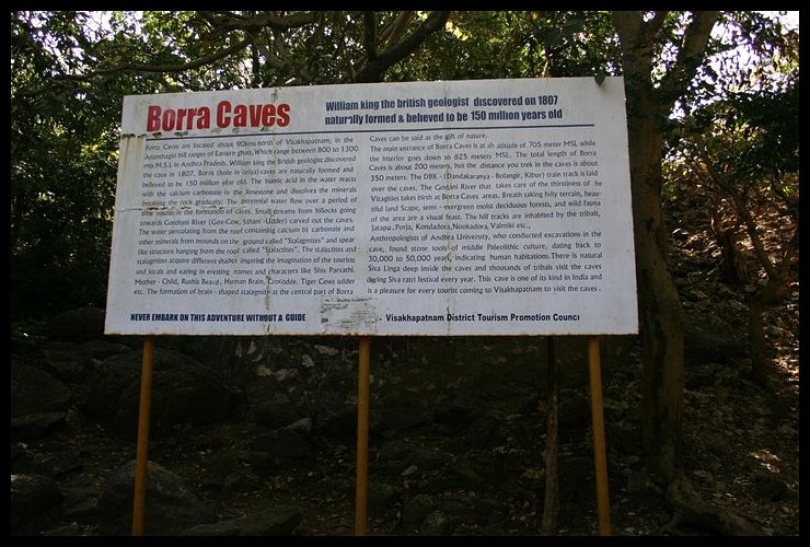
d) Borra caves being the natural formation in Eastern ghats is situated in Ananthagiri Mandal The caves are at an altitude of about 800 to 1300 metres and are famous for million-year-old stalactite and stalagmite formations. The Caves, one of the largest in the country, at an elevation of about 705 m (2,313.0 ft), distinctly exhibit a variety of impressive speleothems - ranging from very small to big and irregularly shaped stalactites and stalagmites.The Caves are basically Karstic limestone structures extending to a depth of 80 m (262.5 ft) (considered the deepest cave in India).
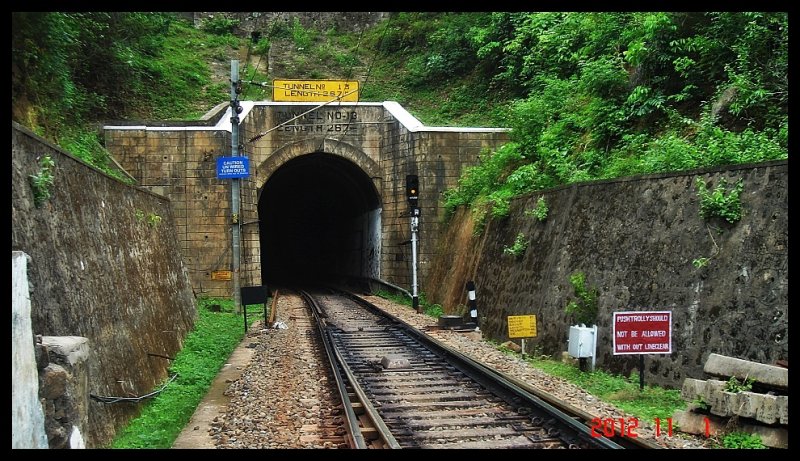
e) The highest braod gauge station in India until just a few years back is at Similiguda at around 950 mts. You can get to Araku by train on arguably the highest Broad Gauge railway line in India. Once you leave Kottavalsa you depart the concrete jungles behind and get step into raw nature. 58 tunnels (the total tunnel length is 10 km, the longest being 869 m), 84 major and 1,187 minor bridges (the longest bridge is 457 m, 584 curves,the ghat statistics of the the KK line (Kothavalasa, Vizag-Kirandul,Orissa Line).
This is one of the most scenic train journeys in India.
Landslides are common. Advance parties travel along the line before monsoons, checking every vulnerable spots in the mountains that could give way and blast the rocks to prevent landslides.
For the freight trains, traction power is not a question...they always go empty uphill and return loaded downhill. It is braking. The difficulty is in controlling speed through brake power. It takes the combined braking power of three locomotives to stop the train. The line has many catch sidings so that a runaway train can be diverted onto these emergency lines that climbs up the mountain and the train will come to a natural halt.
Stations: Srungavarapukota, Boddavara, Tyada, Ananthagiri, Borra Guhalu, Similiguda, Araku.
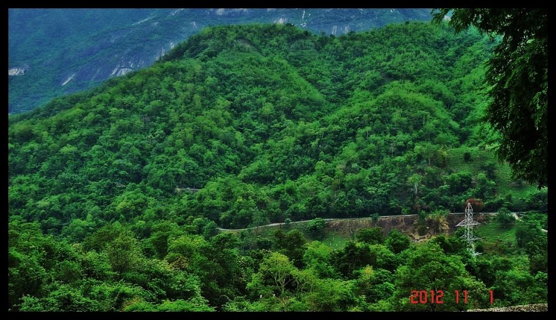
Scenic spots: Starts a little later Srungavarapukota. All the way to Ananthagiri, via Tyada, Borra, Similiguda etc.
Finally...despite being a broad gauge line, this is one of the most scenic lines in India and an engineering marvel
Most of the time valley falls in right side of the train while going towards Araku from Vizag and waterfalls remain at left side. On the way small and big water falls can be seen from the train. The green valley and river combination gives a spectacular view from the train. The train passes through tunnels and bridges on its journey. After CHIMIDIPALLI station the water fall comes at left side just after a tunnel. The longest tunnel is 520 meter long. Throughout the hill region of this line patrolling staffs of Indian Railway give clearance to all passing by trains as they continuously monitor the track for any land slide, tree falling or any other type of damages.
On its way to Araku, the train needs to cross a total of forty-one tunnels and a number of bridges. The train passes ‘over’ Borra caves (million year old caves with stalactite formations). Inside the cave there is a marking which denotes the passage of the railway track 150 mts above Pillars are erected over this marking. The region is thick with vegetation and it is quite common to come across water falls just by the line.
Most of the time valley falls in right side of the train while going towards Araku from Vizag and waterfalls remain at left side. On the way small and big water falls can be seen from the train. The green valley and river combination gives a spectacular view from the train. The train passes through tunnels and bridges on its journey. After CHIMIDIPALLI station the water fall comes at left side just after a tunnel. The longest tunnel is 520 meter long. Throughout the hill region of this line patrolling staffs of Indian Railway give clearance to all passing by trains as they continuously monitor the track for any land slide, tree falling or any other type of damages. The train also passes above the Borra caves. There is a 100ft thick rock support over the caves above which the tracks are laid. So there is enough protection and security for the train.
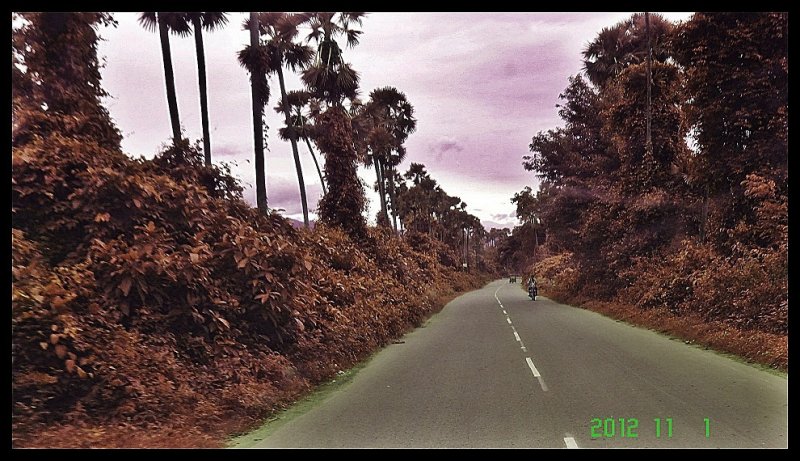
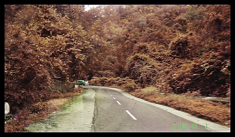
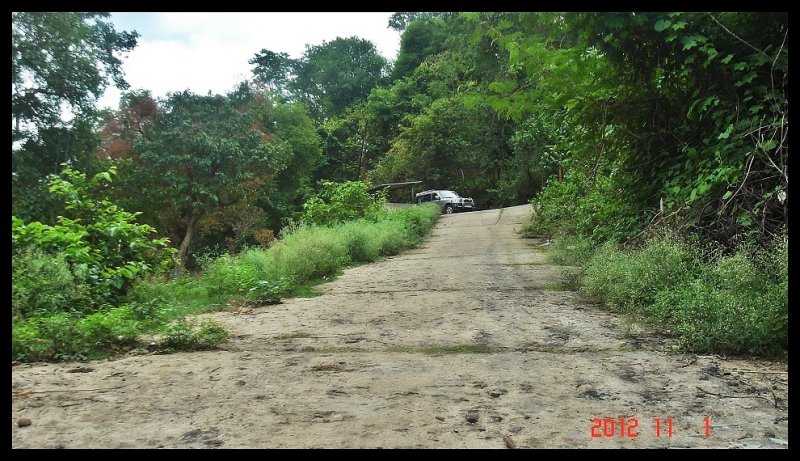
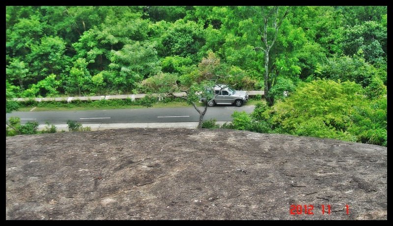
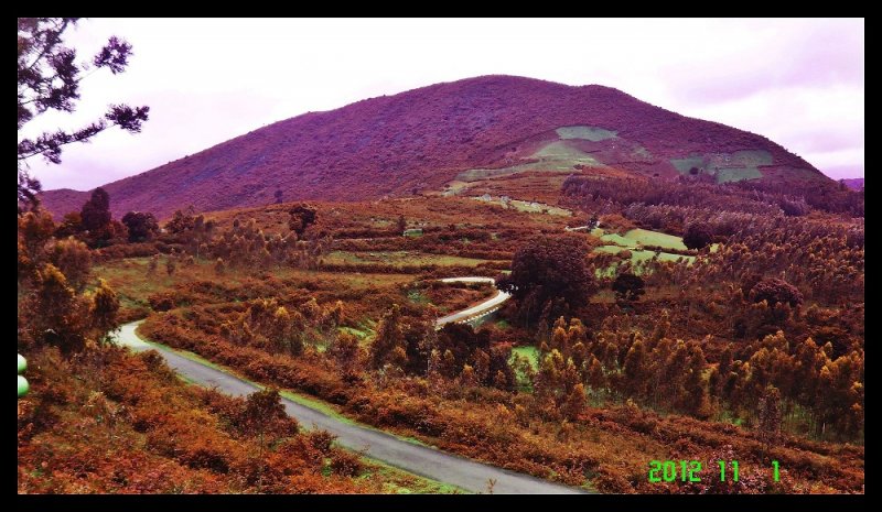
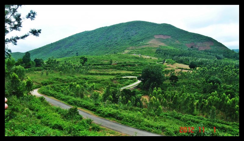
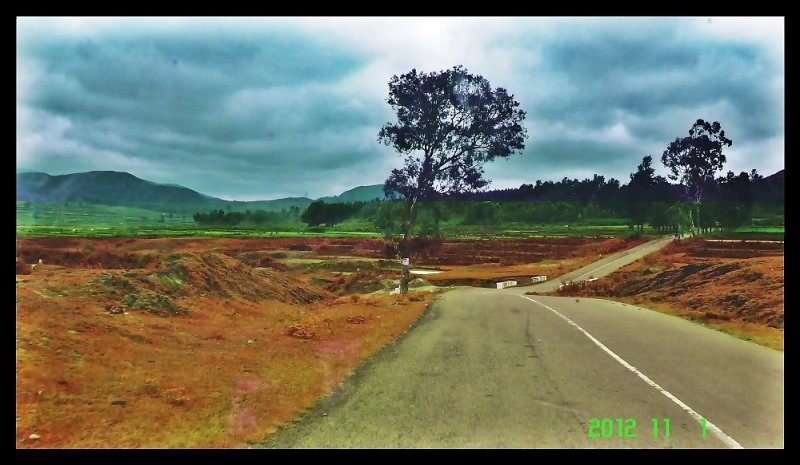
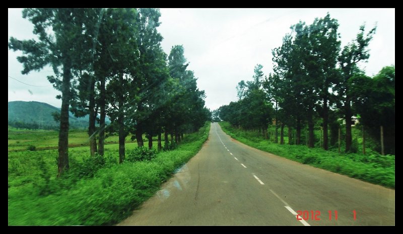
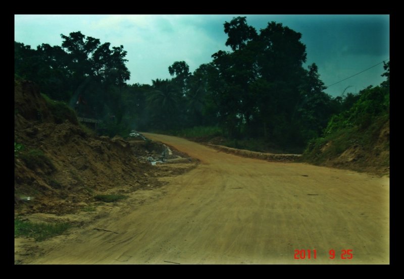
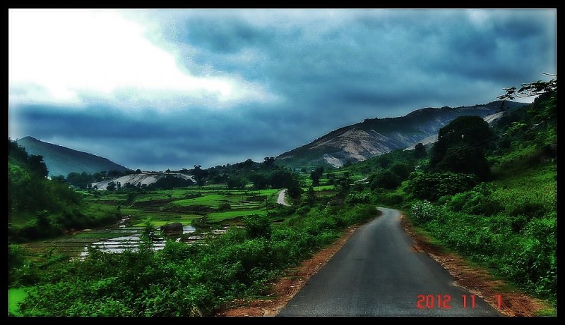
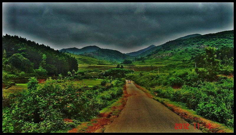
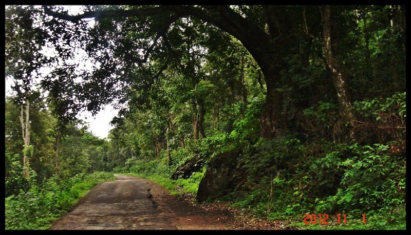
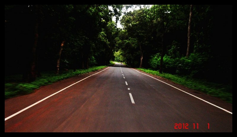
f) By road Araku itself is reached after around 35 odd kilometers of a narrow 6 feet wide Ghat road that's lined for most of the way by a moss-covered balustrade that's greener than the forest beyond.
On the way up, you will pass TYDA, a "must-be-there" place for its cottages under true forest trees. You also pass Silver Oak trees with Pepper Vines snaking around the trunks and Coffee shrubs growing amongst the rows.
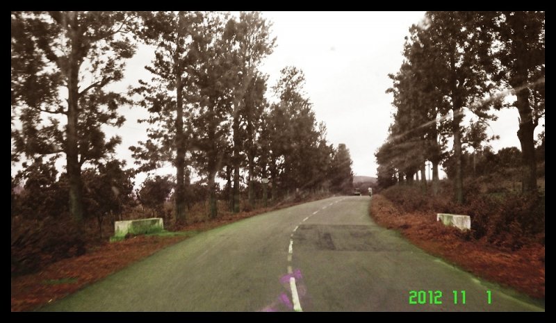
Up you go, along on a meandering Ghat road with a peak here and peak there, a valley here and a ravine there with everything green, oh-so-green.
g) World Famous coffee: The coffee of this region are classified as medium body, medium to sharp acidity and intense aroma with a spicy tinge. The coffee produced at Pedabyalu estate of APFDC of this region has been rated as very good and bagged award as the best Regional coffee for Araku valley region in the Flavour of India - Fine Cup Award 2003, the finals of which were held at Boston.
h) Local Villages in Araku :
1. Madaada Village – This Village is about 8 kms from the Railway station and is most significant village in these parts for pottery
2. Chompi Village / Mushriguda Village – This village is about 10 kms from the Railway station and is famous for its bamboo products
i) Local Sightseeing in Araku :
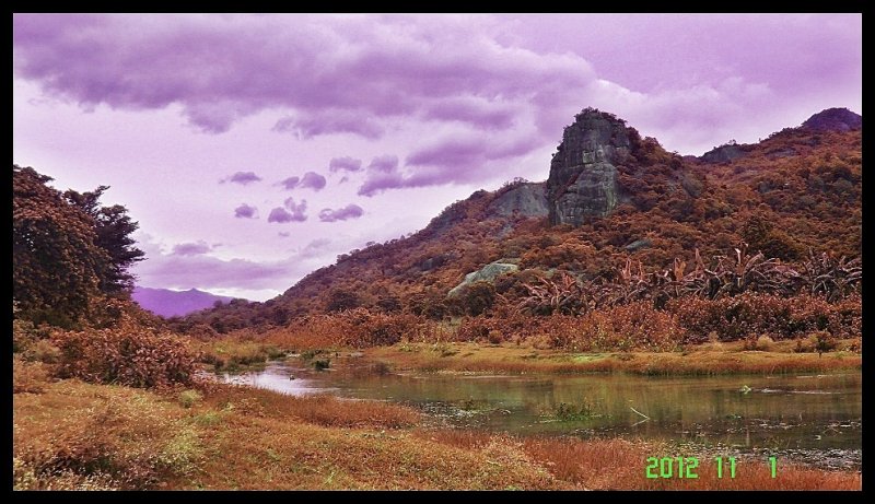
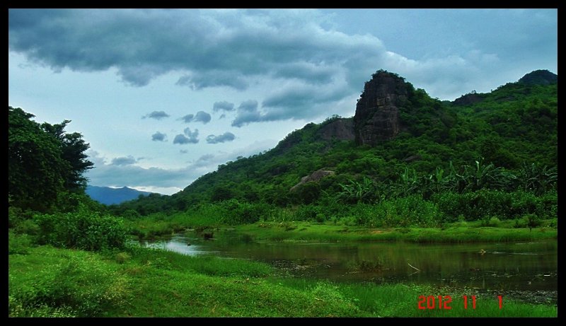
1. Matsyagundam – A rivulet passing through ancient the rock boulders with backdrop of an ancient temple of Lord Shiva
2. Tribal Mueseum for an insight of the local tribes and tribal culture
3. Padmanabhan Gardens
4. Shimiliguda Station : Untill 2004 this was the highest broad gauge station in India
j) Waterfalls in Araku :
1. Kataki warerfall
2. Anantagiri waterfall
3. Chapparai waterfall
4. Chimdipalli waterfall
k) Padua:
It stands midway between Araku and Koraput and tourists visiting Araku, can easily make a trip to Padua just 30 km away.
A serene lake with an island surrounded by hills wrapped in forests – that’s Padua near Koraput in Orissa. Nature is abundant here with lakes, rivers, hills, forests, valleys and miles and miles of paddy fields. Spanning an area of around 50 sq. km, this charming location is nestled at a height of 3500 feet above sea level. You can also reach Padua from Koraput, which is just 70 km away. In Padua, you can enjoy boating and angling in the Macchkunda Lake, nature walks and treks on the nearby hills and keep romancing the moonlight amidst the music of wilderness.
Places to see in Padua:
Padua is an outstanding destination with an array of impressive attractions. If you have planned a stay at Padua, then visit the nearby Nageshwari Caves, Duduma Dam, Rani Duduma waterfall and Sili caves. The Macchkonda Lake along with Macchkonda powerhouse is worth visiting. Walk down to the nearby tribal village of Kulabi, inhabited by the local tribal people.
You can also trek 4 kms to reach the nearby Nageswari caves and have a panoramic view of the Machkunda Valley. Here you can meet the tribal people and even try to discover a part of the Nageswari caves.
l) Machhkund (Duduma): near Padua (30 Km from Araku) :
The majestic waterfall, also known as “Matsya Tirtha” falls from a height of 175 m. A hydro-electric project developed amidst deep greenery. One cannot go up to the falls but see it at a distance as it all dense forest surroundings.
The Jalaput Dam built across the Machkund River of Orissa stands as a boundary between the states of Orissa and Andhra Pradesh. The dam is situated near Ondra Gadda in the district of Vishakapatnam and is placed along the Mudugal hills. The dam has a steep fall along it known as the Duduma Falls. The Jalaput Dam has been functioning from the year 1955 and it holds around 34.273 TMC of water under the Machkund Hydro-Electric Scheme (MHES), downstream. Three KMs away from Duduma waterfall.
![[sleep]](https://www.theautomotiveindia.com/forums/images/smilies/Sleep.gif "Sleep [sleep]")
![[frustration]](https://www.theautomotiveindia.com/forums/images/smilies/Frustration.gif "Frustration [frustration]")


![[roll]](https://www.theautomotiveindia.com/forums/images/smilies/Roll.gif "Roll Eyes [roll]") .........
.........![[clap]](https://www.theautomotiveindia.com/forums/images/smilies/Clap.gif "Clap [clap]")
![[:D]](https://www.theautomotiveindia.com/forums/images/smilies/Big%20Smile.gif "Big Smile [:D]")

![[confused]](https://www.theautomotiveindia.com/forums/images/smilies/Confused.gif "Confused [confused]")
![[surprise]](https://www.theautomotiveindia.com/forums/images/smilies/Surprise.gif "Surprise [surprise]")
![[evil]](https://www.theautomotiveindia.com/forums/images/smilies/Evil.gif "Evil [evil]")
![[:)]](https://www.theautomotiveindia.com/forums/images/smilies/Smile.gif "Smile [:)]")